


7,5 km | 10,6 km-effort

Tous les sentiers balisés d’Europe GUIDE+


Gratisgps-wandelapplicatie
 SityTrail
IGN / Geografische instituten
SityTrail World
De wereld gaat voor u open
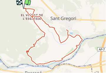
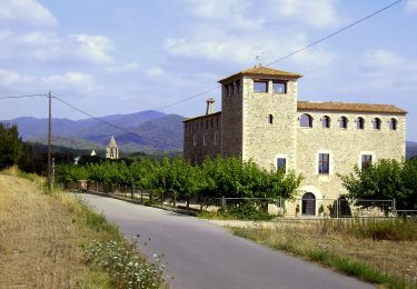
Tocht Te voet van 12,3 km beschikbaar op Catalonië, Gerona, Sant Gregori. Deze tocht wordt voorgesteld door SityTrail - itinéraires balisés pédestres.
FITXA TÈCNICA Longitud: 12 km Temps aproximat sense parades: 3h 30min Altitud mínima: 90m Altitud màxima: 170m Ruta ...
Website: http://www.valldellemena.cat/?tool=llemena&tool_section=pagina&action=show_record&pagina_id=91&language=cat


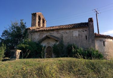
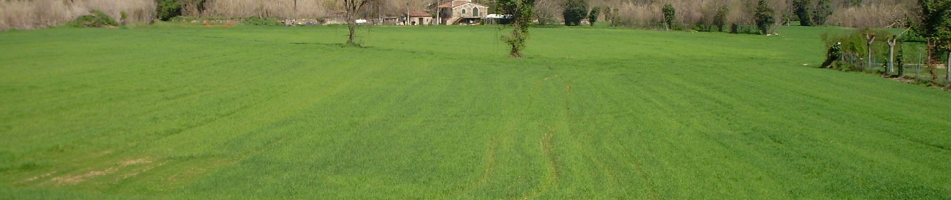
Te voet
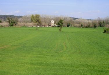
Te voet
Te voet

Auto